trendingPhotos2393753https://zeenews.india.com/photos/india/central-west-india-witness-heavy-rains-due-to-monsoon-s-first-depression-in-pics-2393753)

PHOTOS
Central, West India witness heavy rains due to monsoon’s first depression - In pics
New Delhi: Each year monsoon comes with 5 to 6 depressions which in turn bring extensive rainfall to central and west India. This year’s monsoon’s first depression lead to heavy downpour in several parts of Odisha and Gujarat on Monday (September 13). Here is the collection of pictures showing the effects of the first depression
Updated:Sep 14, 2021, 01:46 PM IST
Advertisement
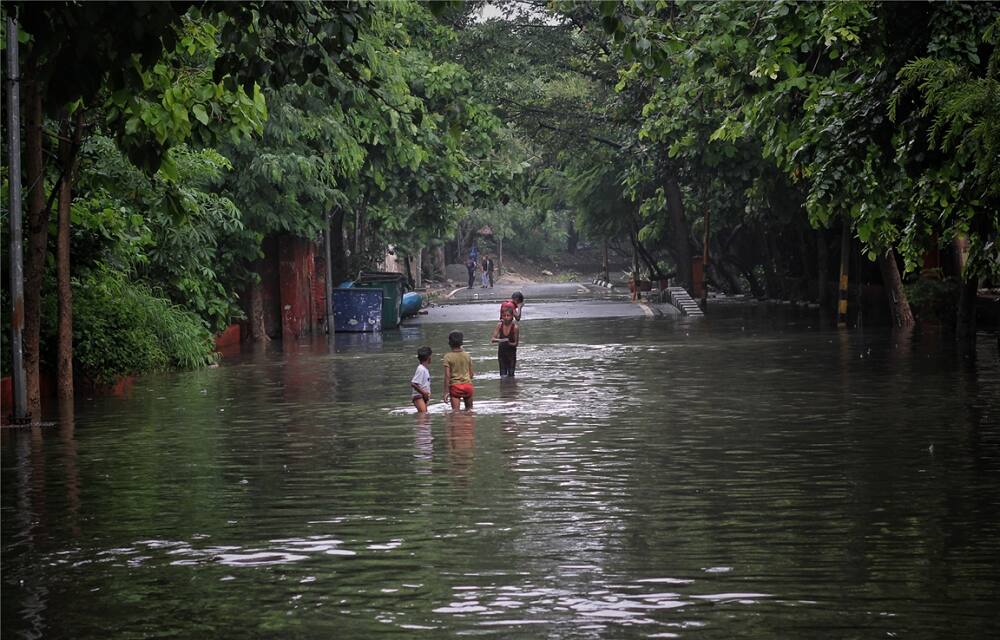
1/5
Development of the Deep depression
The deep depression developed over the northwest Bay of Bengal and vicinal Odisha coast. This deep depression developed over north Odisha will move west-northwestwards and remain over north interior Odisha, close to Jharsuguda early morning on Tuesday (September 14). (Image credit: ANI)
2/5
Weakening of deep depression
During the next 48 hours, deep depression is likely to continue to move towards west-northwestwards across north Chhattisgarh and Madhya Pradesh and weaken into a depression in the next 12 hours. (Image credit: IANS)
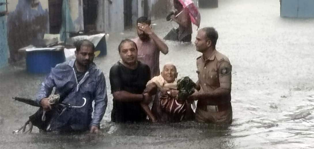
3/5
Effect of deep depression
Puri’s Astranga station reported 53cm; Kakatpur reported 52cm and Jagatsinghpur’s Balikuda reported 44cm rain between 8.30 am on Sunday to 8.30 am on Monday (September 13). Odisha and Chhattisgarh are likely to witness extremely heavy rain till Tuesday (September 14). (Image credit: PTI)
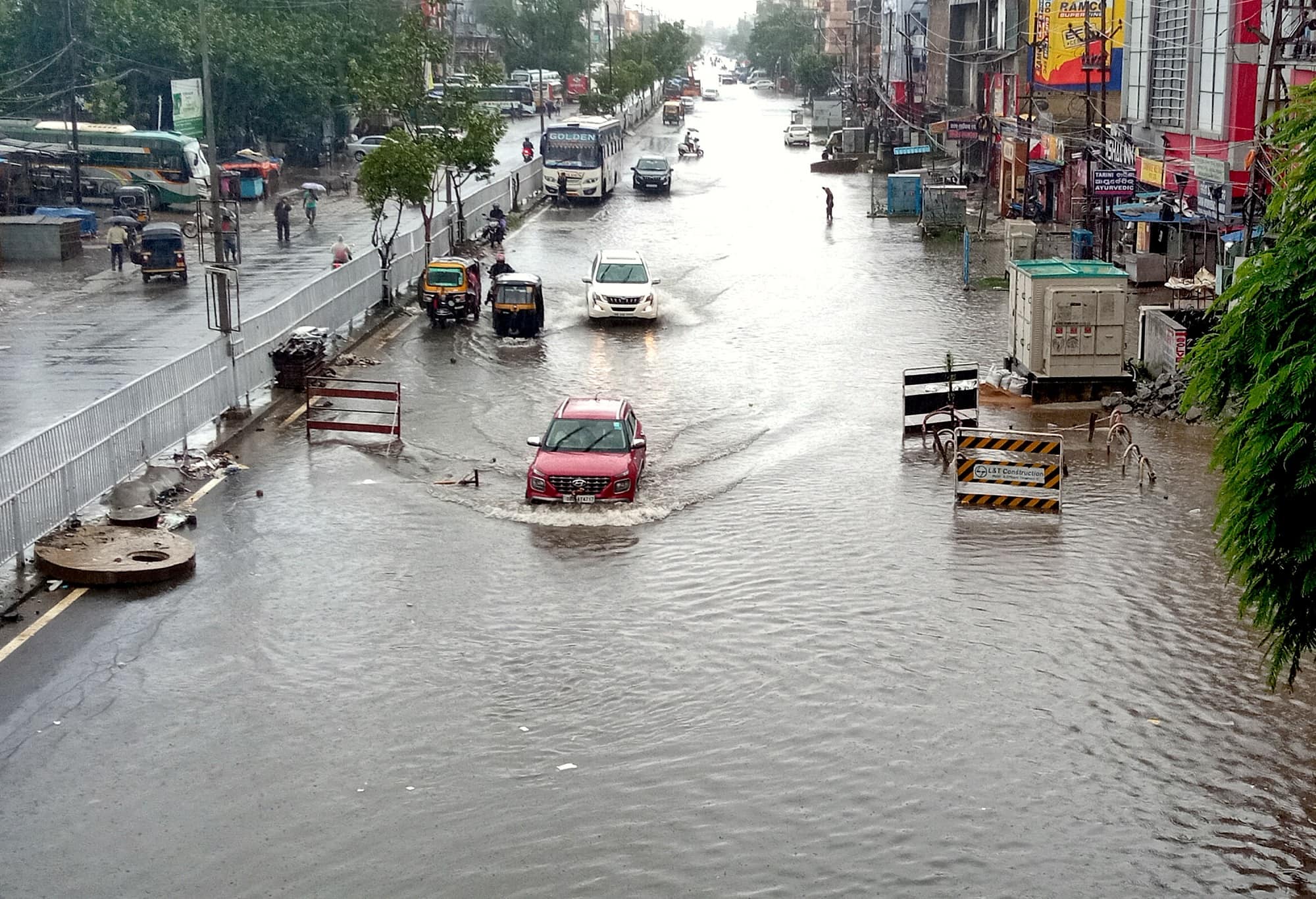
4/5
Heavy rains in Gujrat
According to a media report, Lodhika in Gujarat’s Rajkot recorded 50cm; Visavadar in Junagarh recorded 35cm; Kalavad in Jamnagar recorded 29cm from 8.30 am on Monday(September 13) to 5.30 pm Over Gujrat region a low-pressure area has developed associated to cyclonic circulation which will weaken in the next 12 hours. The monsoon trough is lying south of its normal position. It is very likely to remain south of its normal position during the next 3-4 days. (Image credit: ANI)
5/5
Effect of depression in North-West India
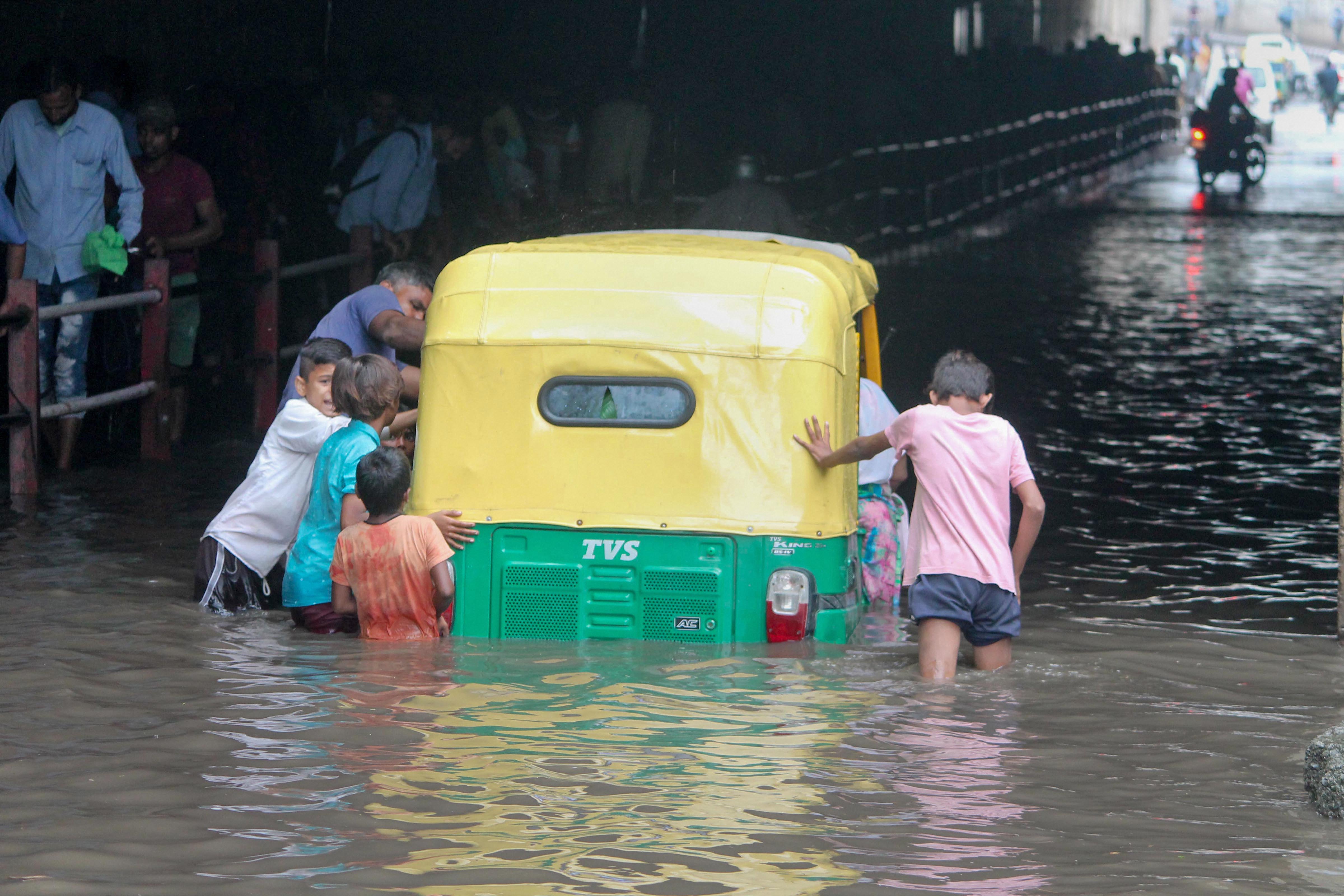
North Konkan, north Madhya Maharashtra, Gujarat, east Rajasthan, and Madhya Pradesh are likely to witness isolated heavy to very heavy rains in the next 3-4 days. Around September 16, northwest India may witness heavy downpours at isolated places of Haryana, Rajasthan, and west Uttar Pradesh. (Image credit: PTI)
Go toNext Gallery
