- News>
- Environment
This is how Earth, our home planet, is changing - Take a look (Pics inside)

These NASA images demonstrate how the face of the world has changed over time, with periods ranging from centuries to years.
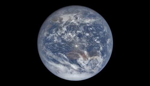
New Delhi: The Earth, our home planet, has been constantly changing as a result of various factors, including climate change, urbanisation, human activities, natural hazards such as fires, floods, earthquakes and landslides.
Notwithstanding the Earth remains breathtakingly beautiful.
NASA has been using the vantage point of space to increase our understanding of Earth, improve lives and safeguard our future. These NASA images demonstrate how the face of the world has changed over time, with periods ranging from centuries to years. Take a peek!
Urban expansion in New Delhi, India
Between the times these two images were taken, the population of India’s capital and its suburbs (known collectively as “Delhi”) ballooned from 9.4 million to 25 million. It is now second in population only to Tokyo, which has 38 million people.
Great Salt Lake Shrinkage, Utah
Dramatic change in the area of the Great Salt Lake over the past 25 years. The lake was filled to near capacity in 1985 because feeder streams were charged with snowmelt and heavy rainfall. In contrast, the 2010 image shows the lake shriveled by drought.
Exceptional early ice melt, Greenland
Meltwater streams, rivers and lakes form in the surface of the Greenland Ice Sheet every spring or early summer, but melting began exceptionally early in 2016.
Iran’s Lake Urmia changes color
Some combination of algae and bacteria is periodically turning Iran’s Lake Urmia from green to red. The change typically occurs when summer heat and dryness evaporate water, increasing the lake’s saltiness. Data from satellites indicate that the lake has lost about 70% of its surface area over the last 14 years.
Baban Rafi deforestation, Niger
These pictures of Baban Rafi Forest show the loss of a significant fraction of the natural landscape (darker green areas) of the forest to agriculture. Population in this region quadrupled during the 40 years leading up to the 2007 image.
Colorado River Evolution, Mexico
These two pictures illustrate the extremes of water flow in the Colorado River since measurements began in the late 1800s. The 1985 image was taken in the midst of record high flow, while the 2007 image shows the driest period.
Drying Lake Poopó, Bolivia
Lake Poopó, Bolivia’s second-largest lake and an important fishing resource for local communities, has dried up once again because of a drought and diversion of water sources for mining and agriculture. The last time it dried was in 1994, after which it took several years for water to return and even longer for ecosystems to recover.
Flooding on the Ganges River, India
Heavy monsoon rains have caused catastrophic flooding along the Ganges and other rivers in eastern and central India. At least 300 people died and more than six million were affected by the flooding, according to news reports. These images show a stretch of the Ganges near Patna.
From rising sea levels to the changing availability of freshwater, knowing about our home planet enables policy makers, government agencies and other stakeholders to make informed decisions on critical issues that occur all around the world.
