

Google Maps introduces live train status, live traffic update for bus travel in India
These features include Bus travel times from live traffic in 10 of the largest cities in India, live train status for Indian Railways trains, and mixed-mode commute suggestions that now combine auto-rickshaw and public transport.
Trending Photos

 6
6- 6
- 6
- 5


 "Google Maps introduces live train status, live traffic update for bus travel in India")
New Delhi: Search engine giant Google has introduced three more features in its Maps for better and efficient public transport journey in India.
These features include Bus travel times from live traffic in 10 of the largest cities in India, live train status for Indian Railways trains, and mixed-mode commute suggestions that now combine auto-rickshaw and public transport.
“Google Maps can now tell you about your bus travel times based on live traffic. This uses the power of Google’s live traffic data and public bus schedules to calculate delays and provide accurate travel times. This is the first product of its kind -- launching first in India -- enabling you to know how long your bus trip will take when factoring in live traffic conditions. This feature is launching in Delhi, Bangalore, Mumbai, Hyderabad, Pune, Lucknow, Chennai, Mysore, Coimbatore, and Surat,” Google wrote in its blog.
To use this feature, enter your starting location and destination, then tap the transit tab. The results for bus travel times from live traffic will include the time in green (when running on time) or red (when delayed.)
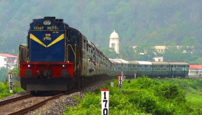
Google Maps can now help you know when your train will arrive by indicating the real-time status. Search for your starting location and destination, or your starting station and destination to see a list of trains that you can take between the routes. From there, you can easily see the real-time status, and whether any of them are delayed, right inside Google Maps. This feature was developed in partnership with the Where is My Train app that Google acquired last year.
The Mixed-mode directions results combine auto-rickshaw and public transport. The public transport tab on Google Maps for Android will now tell you when taking such a journey is a good option, how long it will take, which station you should take an auto-rickshaw to/from. You can also see the rickshaw meter estimate, and departure times for your transit connection.
This feature will be available for Delhi and Bangalore initially and will soon be extended to more cities, Google said.
Stay informed on all the latest news, real-time breaking news updates, and follow all the important headlines in india news and world News on Zee News.
Live Tv
 "DNA: Truth Behind Claims of a Temple in Sambhal Mosque")
 "DNA: Yogi Cracks Down on Corruption in Road Construction")
 "DNA: Yogi Model vs Yunus Model: A Comparison on Handling Riots")
 "DNA: Indian Navy Successfully Tests Long-Range Missile")
 "DNA: Government’s Shocking Statement on Indian Railways' Blankets")
 "DNA: Shocking ‘Vote Jihad’ Allegation Surfaces in Delhi")
 "DNA: Eknath Shinde Steps Back, BJP to Decide CM")
 "DNA: Where Is Bushra Bibi Amidst Pakistan’s Chaos?")
 "DNA: Chhattisgarh Couple Promotes Helmet Safety at Wedding, Video Goes Viral")
 "DNA: IIT Kanpur Develops ‘Invisible’ Shield for Indian Army!")
