

Railways, ISRO to sign MoU over remote sensing, GIS technologies
An MoU will be signed between Railways and ISRO, under Department of Space, Thursday for developing applications in the field of remote sensing and GIS.
Trending Photos

 7
7- 7
- 8
- 7


)
New Delhi: Aiming at effective use of space technology in remote sensing and graphic information system (GIS) based applications, Railways is set to join hands with Indian Space Research Organisation (ISRO).
An MoU will be signed between Railways and ISRO, under Department of Space, Thursday for developing applications in the field of remote sensing and GIS.
The MoU will enable use of space technology tools in providing passenger information for all trains, indicating next station/stoppage, real-time train-tracking, survey of new rail route alignments particularly in hilly and difficult terrains.
It will also aid in conducting track vulnerability studies, mapping of assets, audio?visual warning to road users at unmanned level crossing gates and introduction of web-enabled rail user-centric services.
Currently, Railways is using space technology for providing connectivity to Passenger Reservation System (PRS) counters and unreserved ticketing system at remote and non-rail head locations.
Besides this, the technology is used for emergency communication using satellite phones from disaster sites, Global Positioning System (GPS) for various applications like remote monitoring of locomotives, passenger information system in Mumbai suburban trains and synchronised clocks and WiFi facility in select Rajdhani Express trains.
Stay informed on all the latest news, real-time breaking news updates, and follow all the important headlines in india news and world News on Zee News.
Live Tv
 "DNA: Eknath Shinde Steps Back, BJP to Decide CM")
 "DNA: Where Is Bushra Bibi Amidst Pakistan’s Chaos?")
 "DNA: Chhattisgarh Couple Promotes Helmet Safety at Wedding, Video Goes Viral")
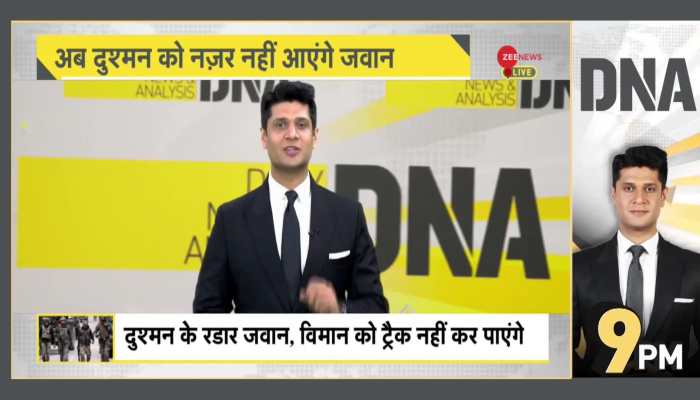 "DNA: IIT Kanpur Develops ‘Invisible’ Shield for Indian Army!")
 "DNA: AIMPLB's 'provocative plan' on Waqf leaked!")
 "DNA: Sambhal riots- shocking revelations in police FIR")
 "DNA: Violence Erupts in Bangladesh After ISKCON Monk Chinmoy Das’ Arrest")
 "DNA: Anmol Bishnoi Seeks Asylum in the U.S.")
 "DNA: Adani Case - Corruption Allegations Rock Indian Markets")
 "DNA: Were Muslims Stopped from Voting in UP By-Elections?")
