

Nearly a week after its launch, ISRO's Cartosat-II beams back first image – See pic
The image shows a part of Indore with the Holkar Cricket Stadium in the centre and was released on the Bengaluru-headquartered space agency's website.
Trending Photos

 5
5- 12
- 10
- 10


 "Nearly a week after its launch, ISRO's Cartosat-II beams back first image – See pic") Image courtesy: ISRO/Twitter
Image courtesy: ISRO/Twitter New Delhi: Four months after a failed satellite launch mission, the Indian Space Research Organisation (ISRO) tasted success in its first launch of 2018 with the Cartosat-II series satellite on January 12.
After successfully placing 31 satellites – including India's 100th – the Cartosat-II has delivered its first image, which ISRO released on Tuesday.
The image shows a part of Indore with the Holkar Cricket Stadium in the centre and was released on the Bengaluru-headquartered space agency's website.
First Day Image from Cartosat-2 Series Satellitehttps://t.co/H4gCw9KK3A — ISRO (@isro) January 16, 2018
The Cartosat-II series is an advanced remote sensing satellite similar in configuration to earlier six spacecraft in the series and intended to augment data services to the users.
The images sent by satellite will be useful for cartographic, urban and rural applications, coastal land use and regulation besides Geographical Information System applications, among others.
(With PTI inputs)
 "DNA: Will India Run on Sharia?")
 "DNA: SC Rejects Pleas Seeking 100% VVPAT-EVM Verification")
 "DNA: WhatsApp threatens to leave India")
 "DNA: Inside Story of Patna fire incident")
 "DNA: Video of rally from Lal Chowk")
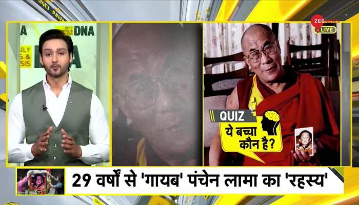 "DNA: Why is China scared of 6 year old child?")
 "DNA: Why is Gandhi family 'tax free'?")
 "DNA: Why Did RBI Ban Kotak Mahindra Bank?")
 "DNA: These apps can hack and empty your bank account!")
 "DNA: Will government take your property?")
